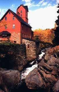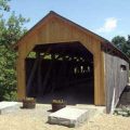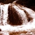
Underhill, Vermont, New England USA
About Underhill, Vermont
Chittenden County
Chartered: June 8, 1763 (New Hampshire Grant)
Area: 32,828 Acres = 51.29 Square Miles [ Size Rank: 23* ]
Coordinates (Geographic Center): N 44° 32′ W 72°57′
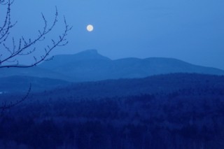
Altitude: 706 feet ASL
Population (US Census, 2010): 3,016 [ Population Rank: 57* ]
Population Density (persons per square mile): 58.8 [ Density Rank: 74* ]
Full Census Info: Town County State
*Area, Population and Density rankings refer to Underhill’s relative position among Vermont’s 255 civic entities (9 cities, 242 towns, 4 gores and grants). Complete rankings are here.
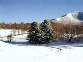
While Underhill is so situated as to suggest that the name is derived from its physical proximity to Mount Mansfield (“under the hill”), it is actually named for Benjamin Underhill or Underhill Horton or both (relationship unknown). Various members of the Underhill family are listed in several of the Onion River Company grants, but it would seem that these two were somewhat low in the pecking order: the land they received has more hills and mountains per square mile than any of the others.
It is the kind of town that prompts Vermonters to say the state would be as large as Texas, if it were flattened out.
It is obvious in a number of the New Hampshire Grants that neither Benning Wentworth nor the grantees knew anything of the terrain with which they were dealing. The town of Mansfield was granted on the same day as Underhill, nobody having a clue that the town was bisected by the state’s highest mountain. In 1839 the Legislature annexed the western section of Mansfield to Underhill, forming the present day town (it was impossible to get from one side of Mansfield town to the other). Despite the objections of residents of the eastern portion of Mansfield, who wanted to remain a separate civil entity, the Legislature saw fit to blend them with Stowe.
Like most of Chittenden county, Underhill is a bedroom community to Burlington and Essex Junction.
Activities & Points of Interest
Goings-on in and near Underhill
Calendar of Events provided by the Vermont Department of Tourism & Marketing.
Chittenden County Historical Society
Contact Info
Emergency Services (Statewide): 911
Hospital: University of Vermont Medical Center (Burlington) 802-847-0000
Town Clerk: Sherri Morin PO Box 32 Underhill Center, VT 05490
802-889-4434
Mon-Fri 8-4
Churches, Ministries, Charitables
Episcopal : Calvary 802-899-2326
Roman Catholic : St. Thomas
United Church of Christ : United Church of Christ
United Methodist : United Church Of Underhill (United Methodist) 802-899-1722
Schools
Chittenden East Supervisory Union 802-434-2128
Underhill Central School 802-899-4676
Underhill I.D. School 802-899-4676
Neighboring Towns
This is a basic geographic reference, intended to show relative location of adjacent towns. Directional accuracy is limited to 16 compass points. There isn’t even the slightest suggestion that one can necessarily travel directly from one town to the next (as in “You can’t get there from here”).
Underhill
Businesses & Services
Maple Leaf Farm
One of the oldest continuously operating residential substance abuse programs in the country.
Rocheleau Appraisal
Fast Friendly Service for Northwestern Vermont
Utilities
Notes about utilities:
- One electric or phone company indicates that company serves the entire town. More than one of either indicates each serves different areas of town.
- A listed cable company MIGHT mean the entire town is covered, but not necessarily. More than one listed indicates each serves different areas of town.
- Unless your area is one served by Vermont’s only gas utility, your only option is bottled gas (any dealer).
Cable Comcast 800-266-2278
Electric Green Mountain Power 888-835-4672
Electric Vermont Electric Co-op 800-832-2667
Telephone Fairpoint 866-984-2001