
 On eBay Now...
WWII US Navy Ulithi Islands Caroline Chart MAG-45 Intelligence Original For Sale
When you click on links to various merchants on this site and make a purchase, this can result in this site earning a commission. Affiliate programs and affiliations include, but are not limited to, the eBay Partner Network.

WWII US Navy Ulithi Islands Caroline Chart MAG-45 Intelligence Original:
$499.00
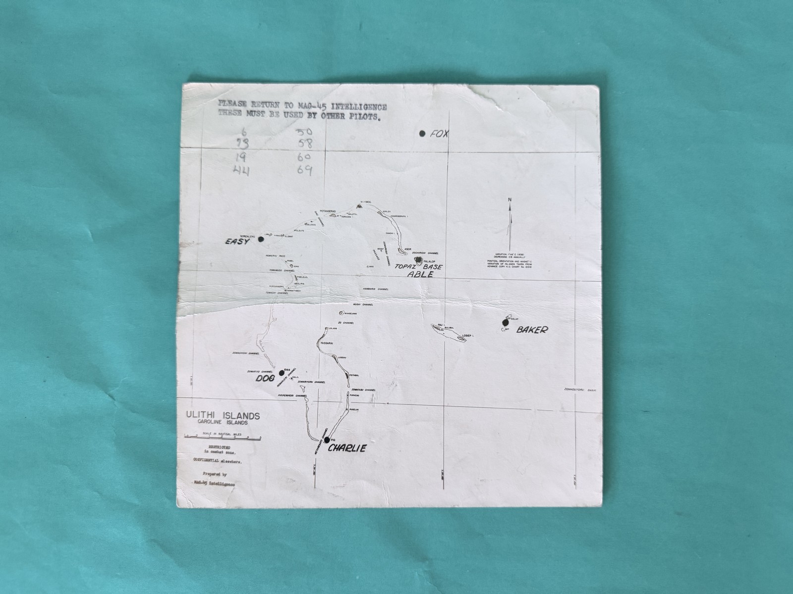
Original WWII Marine Aircraft Group 45 (MAG-45) Intelligence pilot\'s chart — \"ULITHI ISLANDS CAROLINE ISLANDS,\" the Ulithi Atoll fleet anchorage in the western Caroline Islands.Printed classification: \"RESTRICTED in combat zone. CONFIDENTIAL elsewhere.\" Prepared by MAG-45 Intelligence; position, orientation, and magnetic variation of the islands taken from advance copy H.O. Chart No. 5203 (variation 1° 45\' E, 1938, decreasing 0.5\' annually).The fleet anchorage areas are phonetically coded ABLE, BAKER, CHARLIE, DOG, EASY, and FOX — ABLE being Falalop Island, labeled \"TOPAZ BASE,\" the atoll airfield.
Named islands and channels include Asor, Falalop, Fassarai, Mugiai Channel, and Zowaryoru Channel, with a scale bar of 0 to 4 nautical miles. A black ink stamp at the top left reads: \"PLEASE RETURN TO MAG-45 INTELLIGENCE THESE MUST BE USED BY OTHER PILOTS.\"Printed on white paper; the reverse is blank.Measures approximately 7.5 x 7.5 inches.Condition: heavily used; a heavy horizontal fold; the top edge is ragged; small nicks and tears along the left and right edges; general age yellowing with dark smudging at the bottom center and along the horizontal fold; corners rounded. Diagonal creasing on top corners. Period markings include a handwritten pencil grid at the top left (6 30 / 73 58 / 19 60 / 44 69), \"240\" in pencil on the reverse, and a faded red \"RESTRICTED\" stamp on the reverse. On reverse, a tear was repaired along the centerline with archival tape, as was a margin tear. The reverse shows brown marks and discoloration/smudging, especially along the bottom edge.