
 On eBay Now...
Seguin Island Light Aerial View Kennebec River Maine For Sale
When you click on links to various merchants on this site and make a purchase, this can result in this site earning a commission. Affiliate programs and affiliations include, but are not limited to, the eBay Partner Network.

Seguin Island Light Aerial View Kennebec River Maine:
$2.62
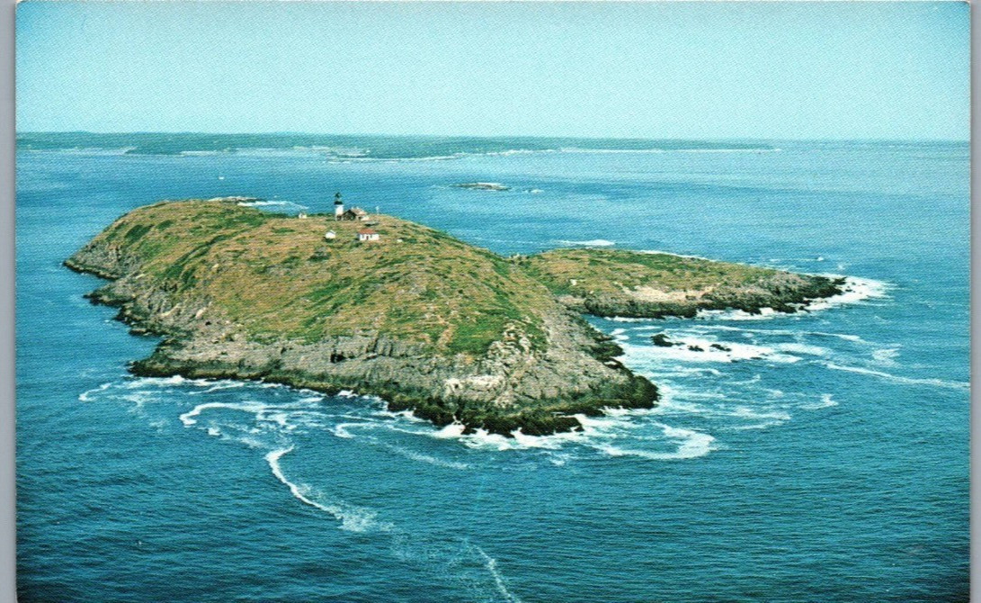
Unposted postcard showing a stunning aerial view of Seguin Island and its lighthouse off the mouth of the Kennebec River on the Maine coast. The rugged, grassy island rises from the deep blue Atlantic on all sides, its rocky shoreline edged with breaking surf, while the white lighthouse tower and keeper's dwelling stand prominently on the island's high point against a clear pale blue sky.
The reverse caption identifies the subject as Seguin Island Light, Maine, noting that Seguin is the highest light above the sea on the Maine coast. It further explains that the original 38-foot tower was built in 1795 during George Washington's administration, and that the present tower, erected in 1857, stands 53 feet high and rises 180 feet above high tide. Photography is credited to Hastings, published by Eastern Illustrating of Tenants Harbor, Maine, copyrighted 1977, and marked with codes M2218 and KV9593.
This card is unused, with no postmark, stamp, or handwritten message present. The reverse shows light age toning, and the front has minor corner wear, but the aerial photograph is sharp and the coastal colors vivid. A striking piece for collectors of Maine lighthouses, Kennebec River history, or New England coastal aerial photography postcards.